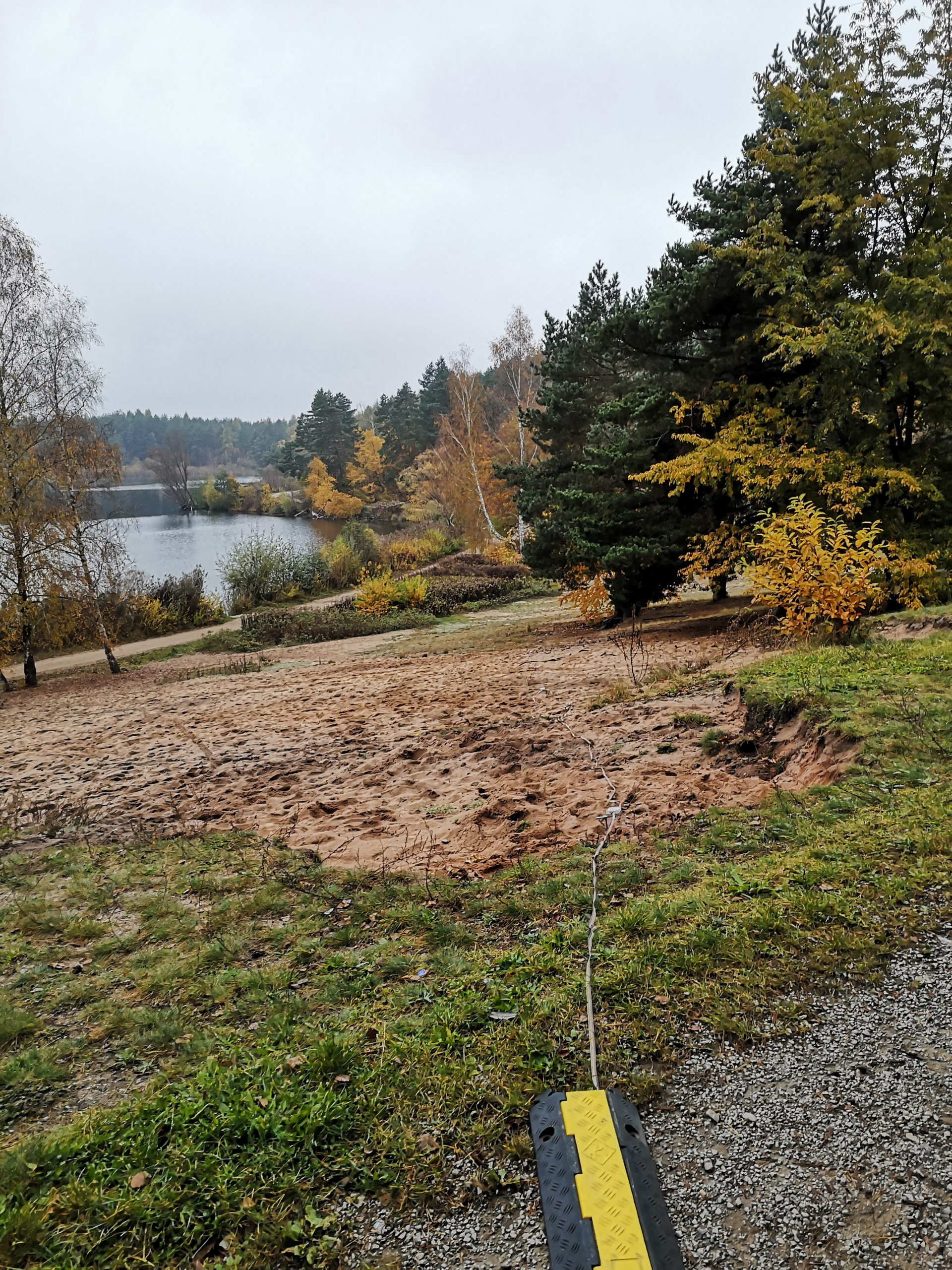
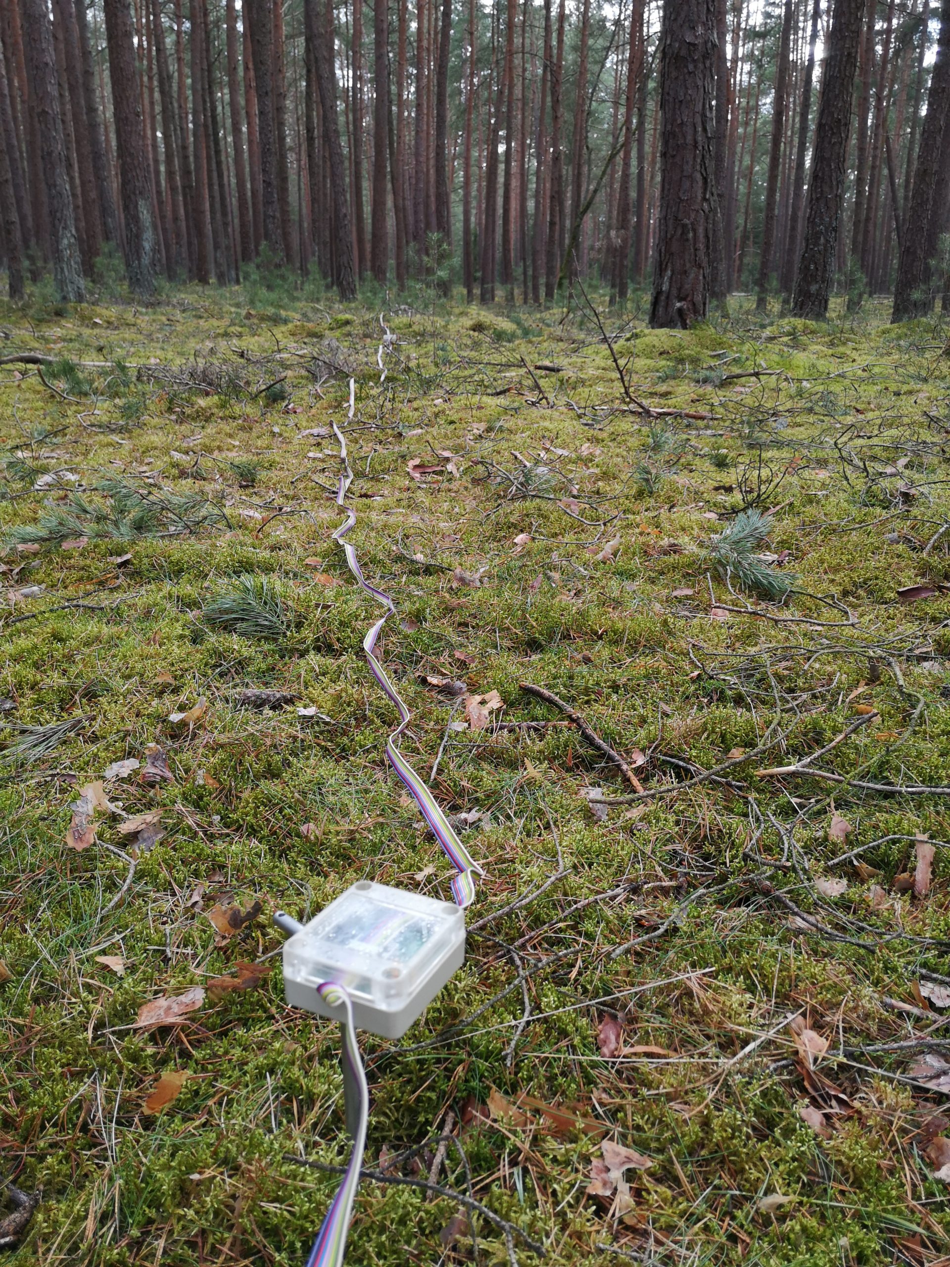
In the area around Birkensee, east of Nuremberg, FAU (AG Oberflächennahe Geothermie) carried out geophysical measurements for the Water Authority of Nuremberg. On the one hand ERT (electrical resistivity tomography) measurements were performed in a campaign in October and completed in a campaign in March 2022. Furthermore, Radon within the soil gas was now measured. The measurements are intended to provide an insight into the geological and hydrological subsurface conditions of the study area.
The investigated area extends along the Röthenbach valley between Diepersdorf and the A3/A9 motorway junction, around the Großer and Kleiner Birkensee recreation areas. During the measurement campaigns, a total of 8 profile measurements were carried out. Some of the ERT profiles were laid out over a distance of more than 1100 m. To realise these long sections, a roll-on technique has been used. Such ERT measurements allow a penetration depth of up to about 80 m below ground level. These profiles regarding the ERT measurements had to be led over or through different obstacles such as dense forest, the Finstergraben or the Röthenbach. By determining the electrical resistivities of the soil, conclusions can be drawn about stratification, water conditions and soil and rock type.
We could not find any entry with the given search term 1869.